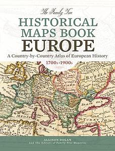
The Family Tree Historical Maps Book - Europe: A Country-by-Country Atlas of European History, 1700s-1900s
DOLAN Allison
Product details
- Categories: EU Maps and Atlas, History of the EU
- Publisher: FAMILY TREE BOOKS
- ISBN: 9781440342042
- Publication Date: 29/04/2015
- Binding: Paperback
- Number of pages: 2240
- Language: English
Summary
Journey to the Old Country From Ireland to Italy, Portugal to Poland, Germany to Greece, and everywhere in between, explore your ancestors' European homelands through more than 200 gorgeous reproductions of 18th-century maps, 19th-century and early 20th-century maps. These full-color period maps--covering the peak years of European immigration to America--will help you understand changing boundaries in ancestral countries, and inform your search for genealogical records. Inside you'll find: * Historical maps of the European continent showing how national borders evolved over three centuries * Detailed country maps illustrating key geographical units--provinces, counties, regions, cities and more * Time lines of important events in each country's history * Lists of administrative divisions by country for easy reference * A complete index to aid in viewing maps of interest in greater detail online This country-by-country atlas is an indispensable tool for European genealogy. Put your ancestral origins in geographical context, unravel the boundary changes that trip up genealogists, and envision the old country as your ancestors knew it. The book is also a valuable reference for teachers, homeschooling parents and anyone with an interest in European history. Time travel across the continent with the Family Tree Historical Maps Book: Europe.